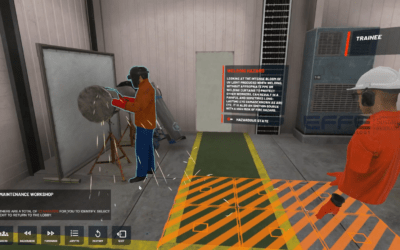
Overview
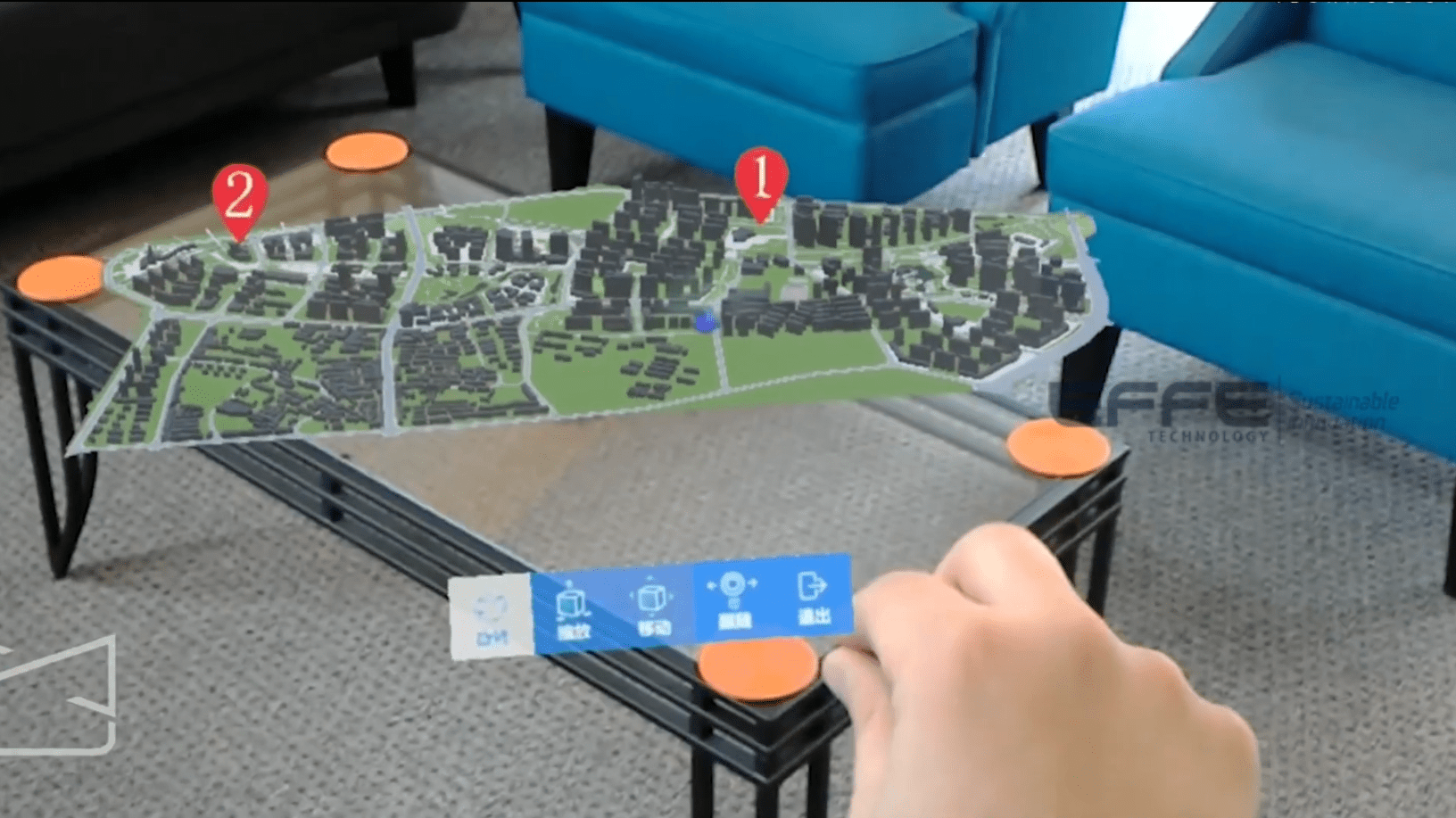
Urban development is increasingly complex, with multiple stakeholders, overlapping infrastructure, and high expectations for sustainable growth. Traditional 2D planning methods often fail to provide a complete understanding of urban projects. This case study demonstrates how smart city planning with XR transformed municipal and urban infrastructure planning by enabling immersive visualization, collaborative decision-making, and improved stakeholder communication. Using XR technology, city planners and municipal authorities gained a clear, interactive view of proposed infrastructure, reducing errors, accelerating approvals, and ensuring more informed decisions.
Designed for smart cities & urban infrastructure development, government agencies, and urban planning firms, this solution highlights how XR for urban planning helps bridge gaps between conceptual plans and real-world impact, supporting transparent, data-driven urban development.
Project Requirement
The client sought a solution to visualize large-scale urban infrastructure projects—including transportation networks, utilities, and public spaces—before construction began. Their goals included:
- Allowing stakeholders to explore proposed city layouts interactively
- Identifying design conflicts and optimizing resource allocation
- Enhancing public engagement with accessible, visualized urban plans
- Improving collaboration between municipal departments, architects, and engineers
- Supporting long-term urban growth strategies through scalable XR planning tools
To meet these objectives, we implemented smart city planning with XR, integrating real-time city models and GIS data into an immersive platform.
Project Planning
Our team began by analyzing city master plans, infrastructure schematics, and stakeholder workflows. The planning phase emphasized:
- Mapping critical urban zones where XR infrastructure planning would add maximum value
- Optimizing 3D city models for immersive performance while maintaining spatial accuracy
- Structuring collaborative XR sessions to allow live feedback from multiple departments
- Designing interactive navigation to simulate pedestrian, vehicle, and utility flows
This careful planning ensured that smart city planning with XR was practical, intuitive, and aligned with municipal decision-making processes.
Project Process & Execution
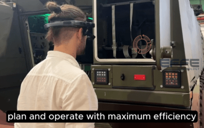
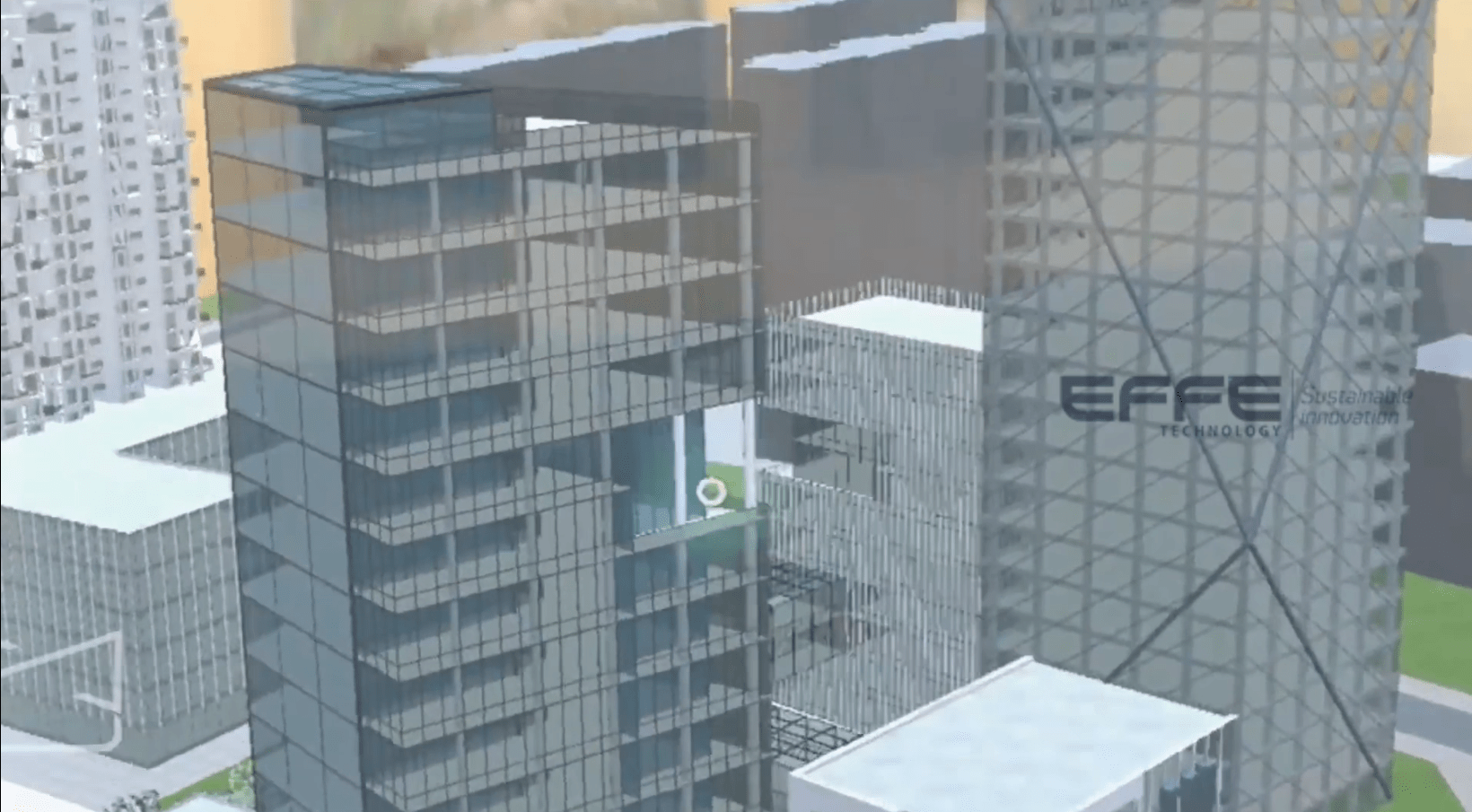
Execution involved converting CAD and GIS data into XR-ready assets, then developing an interactive platform that allowed users to navigate city streets, explore infrastructure proposals, and inspect utilities, roads, and public spaces in real scale. Key highlights included:
- Real-time visualization of infrastructure layouts to simulate construction and operational impact
- Multi-stakeholder collaboration support, enabling architects, urban planners, and municipal authorities to review designs together
- Scenario simulations to assess environmental impact, traffic flow, and population density effects
- Scalable XR models that could be updated as city plans evolved
By applying XR for urban planning, stakeholders experienced a tangible understanding of proposed projects, improving engagement and reducing costly revisions during the planning phase.
Challenges & Learning
- Data Complexity: Large urban datasets required careful optimization for smooth XR performance. Early-stage data cleaning and model structuring proved essential.
- Stakeholder Alignment: Different departments had diverse priorities; guided XR walkthroughs facilitated consensus and informed decision-making.
- Balancing Detail with Performance: High-fidelity city models were needed, but performance had to remain seamless for interactive sessions.
These learnings reinforced best practices for smart city planning with XR, ensuring adoption across municipal teams and consultants.
Client Deliverables
- Immersive smart city planning with XR platform for infrastructure visualization
- High-resolution, interactive city models compatible with XR devices
- Multi-department collaboration support and scenario simulation tools
- Updated XR assets for ongoing urban planning initiatives
- Visual outputs for public engagement, stakeholder presentations, and municipal approvals
Conclusion
This case study demonstrates that smart city planning with XR is not just a visualization tool—it is a strategic enabler for modern urban development. By leveraging XR infrastructure planning and XR for urban planning, city authorities can make informed decisions, reduce planning risks, and improve collaboration. Municipal teams and planners gained clarity, stakeholders aligned faster, and public transparency improved, proving that immersive XR solutions can transform the future of urban infrastructure development.