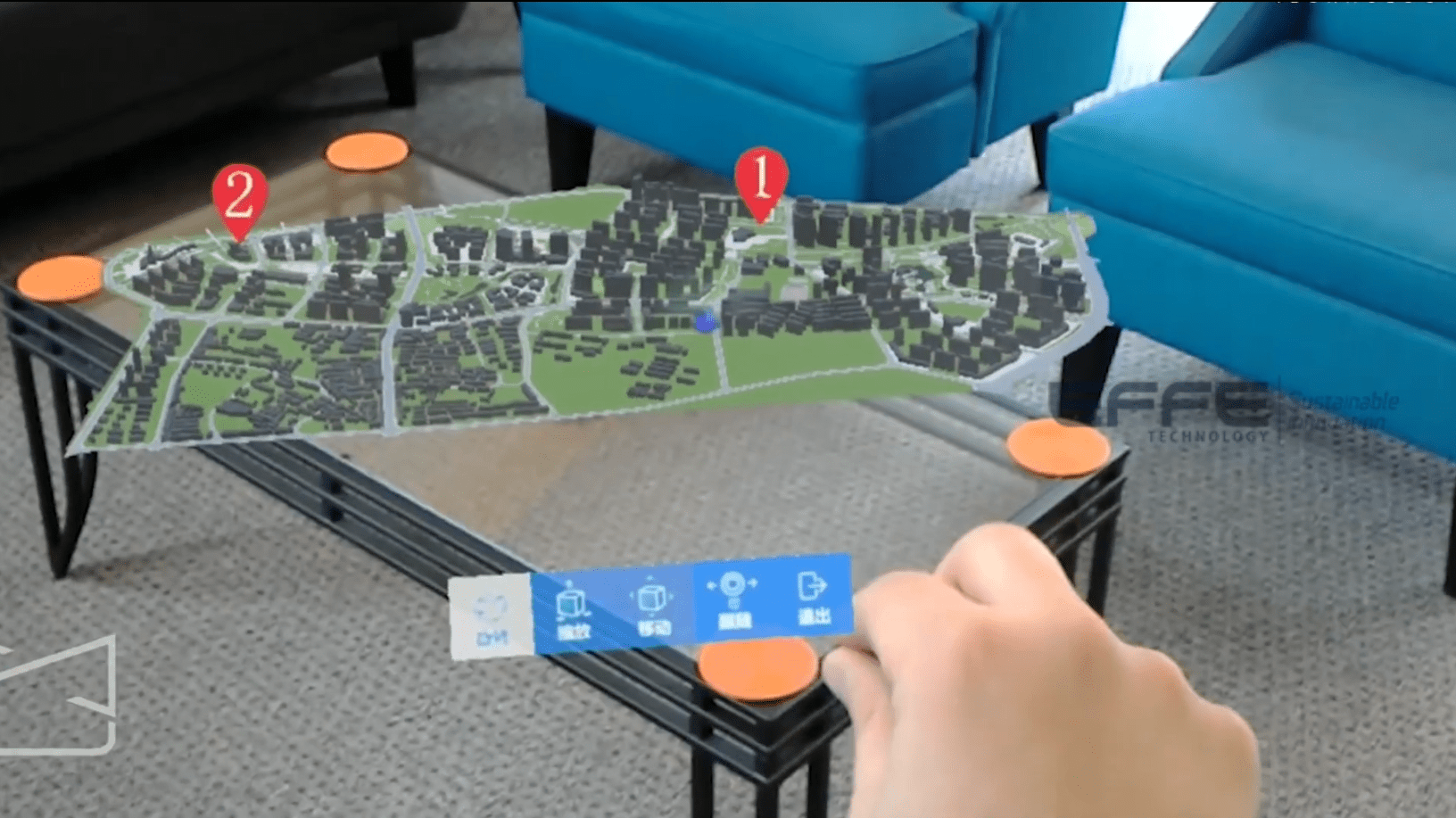
This project demonstrates how Infrastructure Visualization XR transformed urban planning for smart cities by providing an interactive, immersive platform for municipal authorities, architects, and planners. Using Urban development simulation in XR, stakeholders explored city layouts, transportation networks, and public spaces in real scale, improving collaboration and decision-making. The solution enabled scenario testing, reduced design conflicts, and accelerated approvals. By integrating Infrastructure Visualization XR with interactive planning workflows, this project empowered city officials and planners to make informed, data-driven decisions and envision future-ready urban development with confidence.
Portfolio: Virtual Risk Control: XR Safety Training Solutions for Power & Utility Operations
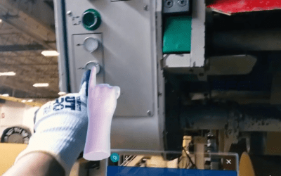
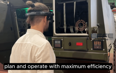
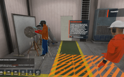
This project showcases how advanced XR safety training solutions and immersive XR safety simulations transformed safety readiness across power generation and utility operations. Built as an enterprise-grade digital safety ecosystem, the platform enables workers to...